PopMap
A time sensitive mapping application revealing the cultural narrative of the city.
Global mapping platforms typically bias their content delivery towards paid for advertising and an increasingly outdated car-centred model of our towns and cities. Whilst at the local level, cities and businesses do not have the tools to represent an accurate, in-the-moment view of the city in a personalised way to their citizens.
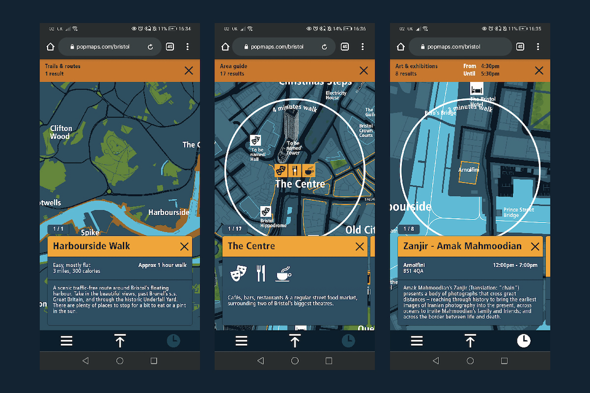
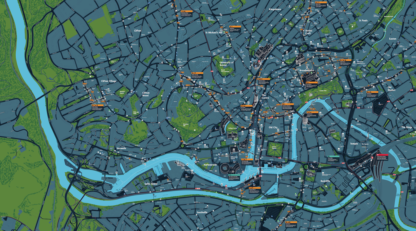
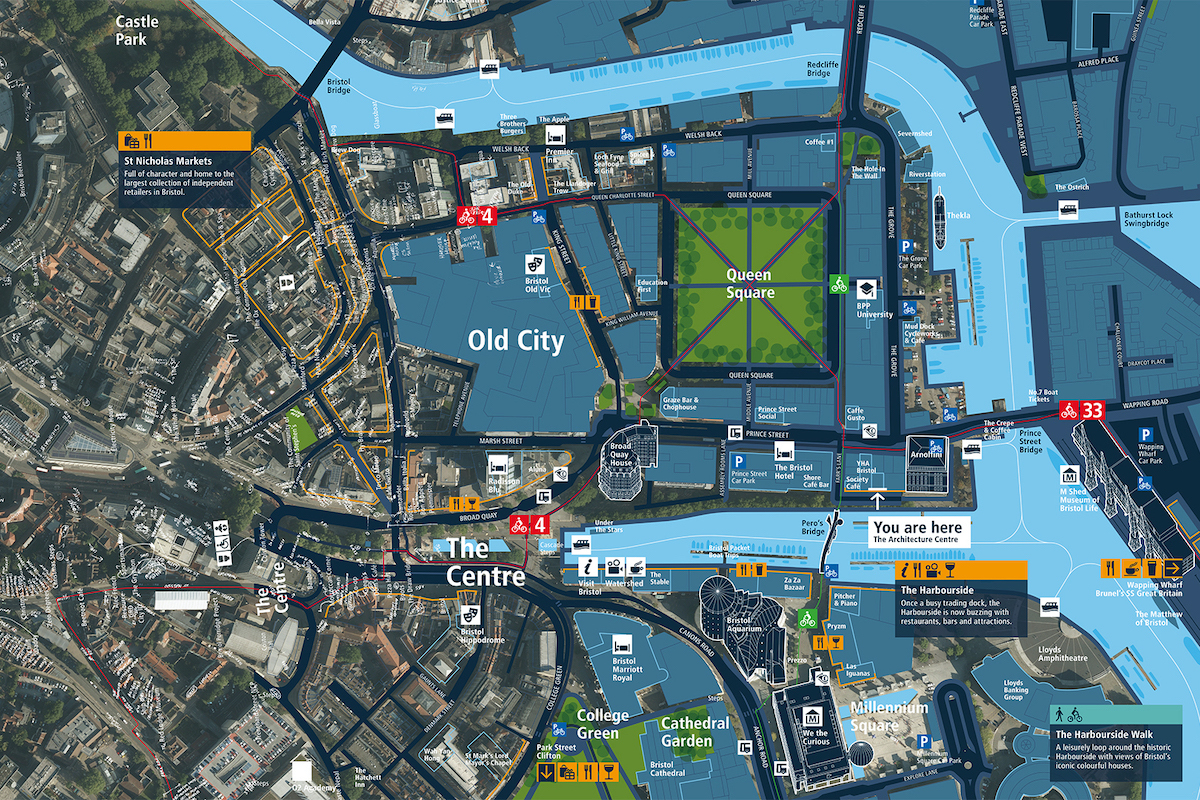
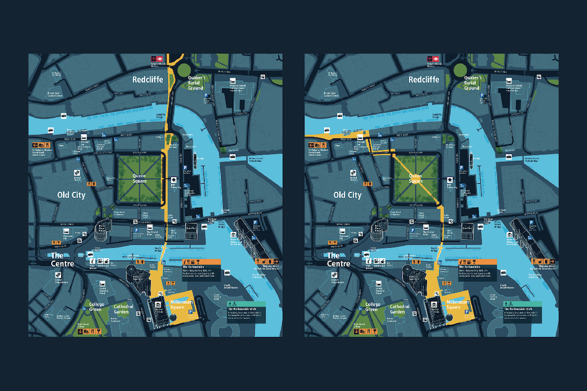
Through the development and digitisation of highly detailed and accurate mapping and sophisticated data modelling, focused on revealing walkable spaces, the aim of this prototype is to explore opportunities for showing hyper-local city information that can be accessed 24/7 on your mobile, tablet and desktop devices.
Some of these ideas have been explored through the development of an exciting new digital prototype called PopMap, in partnership with Calvium and Bristol City Council. PopMap connects people with the events and activities that occur in the city’s streets, spaces, and venues, responding to your location and preferences to reveal activity relevant to you in a time sensitive way. PopMap is about making what is so often invisible, visible. It is about revealing the quirky, hidden, and surprising using pedestrian scale local mapping resources and giving the city a prototype application that can be used to encourage all forms of cultural activity.
The original aim was to examine how promoting interaction between people and place could lead to a greater sense of inclusion or belonging, exploring the appetite for such an application within Bristol, and determine the feasibility of enabling new forms of engagement with the city’s cultural life.
The current situation of lockdowns and phased re-openings means it has become imperative to communicate accurate, hyper-local information to citizens in a timely way. There is huge opportunity for a platform like this to communicate choices on what is available, open, and happening in the locality; the status or current restrictions, conditions or availability of services and facilities; in order to enable personal agency, encourage behavioural change and promote city resilience.
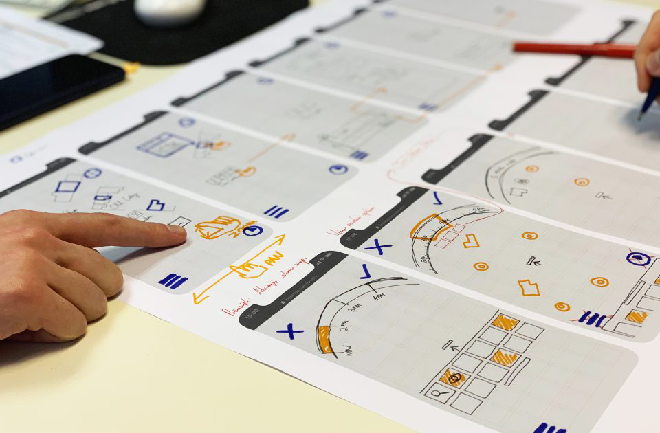
As the project continues to build and adapt to the impacts of Covid-19, the team have developed a citizen-centred content management system to support the interactive map interface. Our place and service modelling has evolved to capture new hyper-local information needs, allowing partners to publish reliable, accurate up-to-the-minute information.
With more of an emphasis on walking and cycling, the PopMap concept can evolve to aid in revealing these networks, by revealing walkability, accessibility, safety, and activity across the city, enabling citizens to navigate streets and spaces with confidence.
Evolving datasets and an intuitive user and producer interface allows the city and business to easily update information that evolves over time in line with government guidance, the future of movement around the city, and the repurposing of streets and spaces. The impact of which could build new connections that helps cities to adapt and grow in new ways in the future – re-localising relevant digital public services, re-socialising the city, and re-energising the local economy.
Contact
Lead organisation
City ID
Hardware
Mobile devices
Team
- Mike Rawlinson, Design Director, City ID
- Cal Jepps, Project Manager/Senior Designer, City ID
- David Gillam, Principal Designer, City ID
- Nick Durrant, Systems Architect, City ID
- Lottie Webb, Senior Designer, City ID
- Myah Antoniou, Designer, City ID
- Jo Reid, Managing Director, Calvium
- Ben Clayton, Technical Director, Calvium
- Jo Morrison, Director of Digital Innovation & Research, Calvium
- Roisin Alvy, Head of Project Management, Calvium
- Kieron Gurner, UX & Design Lead, Calvium
- Richard Barrell, Software Developer, Calvium
- Nuno Veloso, Software Developer, Calvium
- Vitor Quintãos, Software Developer, Calvium
Gallery
